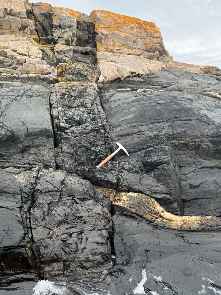
First there is basement, in the Oslo area that is ca 1 billion year old remnants of the western gneiss region of the Sveconorwegian Orogeny.
Then nothing is recorded in the area until a middle Cambrian transgression deposited first the basal conglomerate, and then the characteristic banded Cambro-Silurian succession, before the Caledonian Orogeny rose to the Northwest folded and faulted the banded cambrosilurian and shed a upper Silurian to lowermost Devonian clastic succession burying the now folded underlying banded strata.
Then again nothing is recorded for about 100 million years until the late Carboniferous (a little more than 300 million years ago) when a alluvial and fluvial sequence were deposited, until the massive Permian igneous activity started with the B1 basalt in the very uppermost Carboniferous.
Igneous activity continued throughout the Permian (at least one small dyke in Nordmarka has been found to have an early Triassic age). Ingneous activity culminated with the extrusion of the rhomb-porphy sheet lavas, but continued with caldera forming volcanism and intrusion,all while the crust underwent extension, thinning and associated normal faulting.
This formed the Oslo graben, within which depression this geological record has been preserved even through the erosion of the many successive ice ages of the Plio-Pleistocene.
So attempting to sum up
1 and old “faceless” Orogeny, the Sveio- Norwegian, of which only the deeply metamorphosed gneissic “frozen porridge” remains
2 a Middle Cambrian transgression that created an extensive shallowish marine environment (all the way to Baltikum). in this sea first the basal conglomerate and then the ubiquitous (for paddlers) characteristic interchanging light gray and black cambrosilurian strata were deposited
3 a new orogenic event -the Caledonian Orogeny- developed a Himalaya type mountain range to tbe NW, the cambrosilurian slid more than 100 km “downslope” to the southeast sliding on the organic rich Alum shale which was deposited immediately above the basal conglomerate. As they slid they where folded and deformed like a compressed layer cake. On top of these deformed strata a thick sucsession of terrestrial and fluvial sediments, mostly sandstones were deposited as the mountain range was undergoing erosion. These sandstones buried the now deformed banded cambrosilurian strata.
4 then a 100 million quiet (?) or at leas recordless period, when the underlying strata including the Silurian sandstones, were eroded and truncated
5 then in the latest Carboniferous a new deposition of terrestial and fluvial sediments, immediately followed by
6 massive igneous activity and associated extension and rifting of the crust throughout the Permian period, likely stretching into the very early Triassic
8 followed by (? or contemporaneous with?) the erosion and inundation of the higher lying ingenious strata into the Oslo graben as seen from the Rhombporphry conglomerates on some of the islands in Østfold (e.g. Sletter Islands)
9 and finally another more than 200 million years without any geologically recordable events, until
10 ice ages started eroding into the Oslo graben probably some 2.5 million years ago. One after the other, the latest erasing the traces of the one that came before so today we only see the traces and deposits of the last one
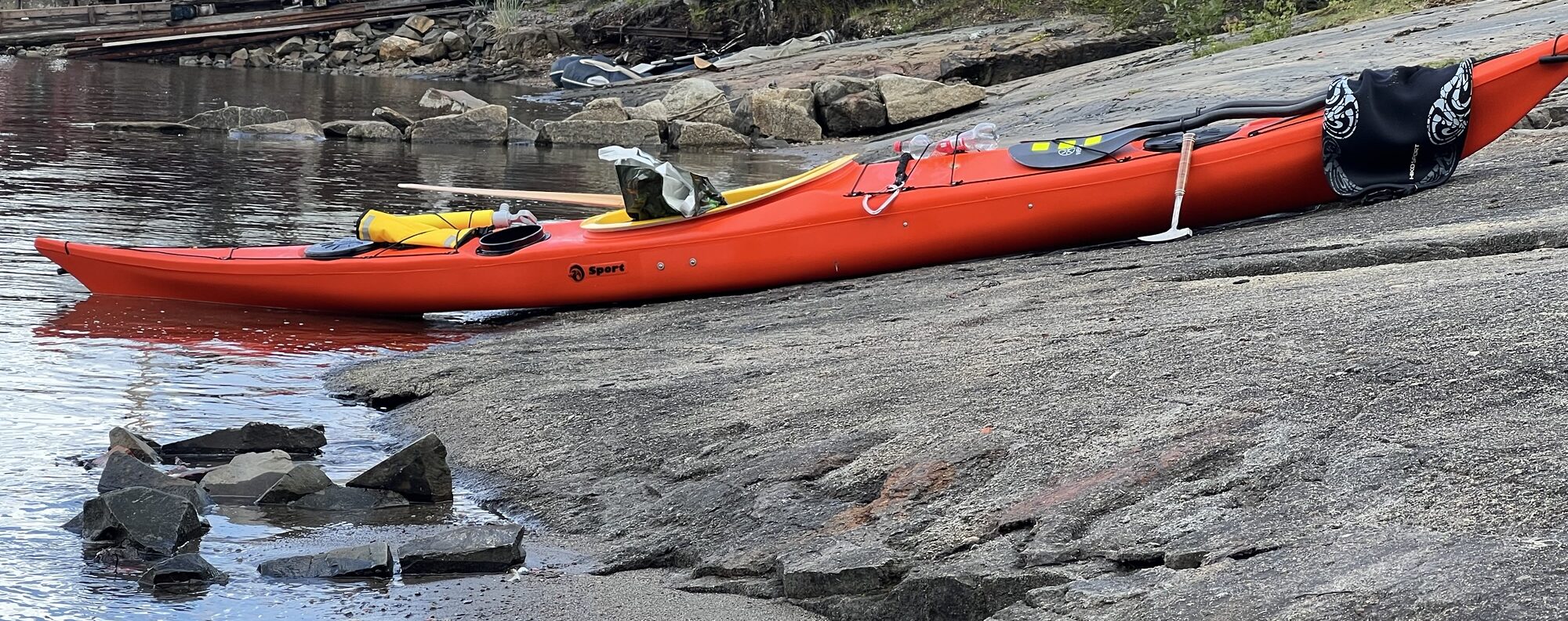
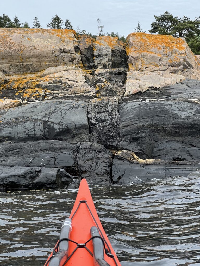
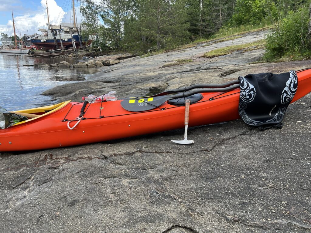
Below is a series of photos showing localities that illustrate many of these events AND are easily accessible by kayak
Sveconorwegian basement intruded by Permian basalt, but when did the thick quartz filled fracture form?
Spro feldspar mines
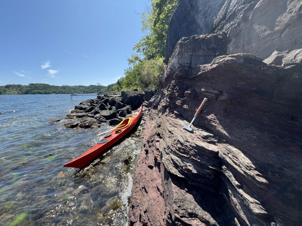
Basal conglomerate at Nærsnes
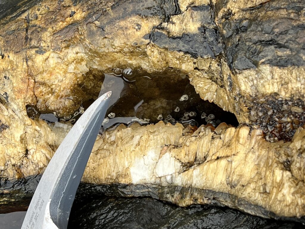
Alum shale (Cambrian)
Ortocer chalk (Orodovician)
Orodovician-Silurian boundary at Hovedøya
“Extinction was global during this interval, eliminating 49–60% of marine genera and nearly 85% of marine species.[4] “ (Wikipedia)
Silurian sediments shed from the Caledonian Orogeny in Frebergsvik
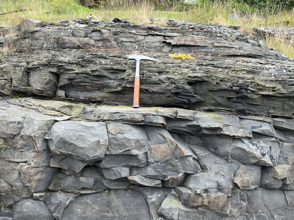
Uppermost Carboniferous succession in Frebergsvik

Rhomb porphyry (dikes and extrusions)
Later igneous rocks (from the caldera forming era)
Rhomb porphyry conglomerates
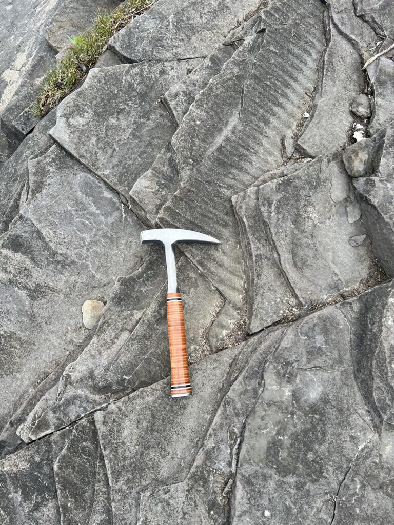
Glacial forms and deposits